The overall methodology is structured around three main steps, corresponding to Work Packages 1–3.
Pottery Analysis and Material Culture
Step 1 entails the analysis of pottery types, their classification, and their cataloguing according to shape, function, coating, decoration, technology, and origin (WP1). We ensure full compliance with the Standard for Pottery Studies in Archaeology.
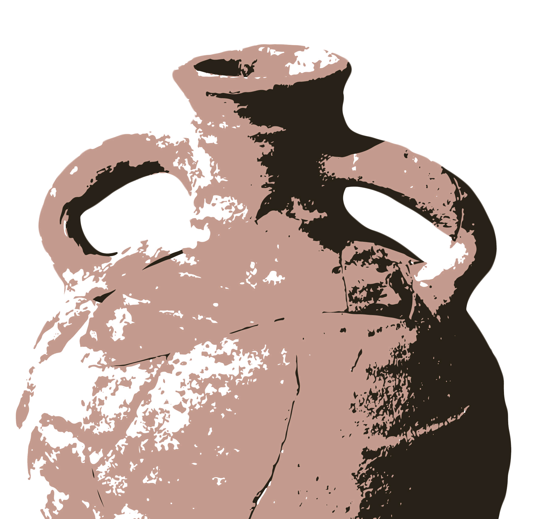
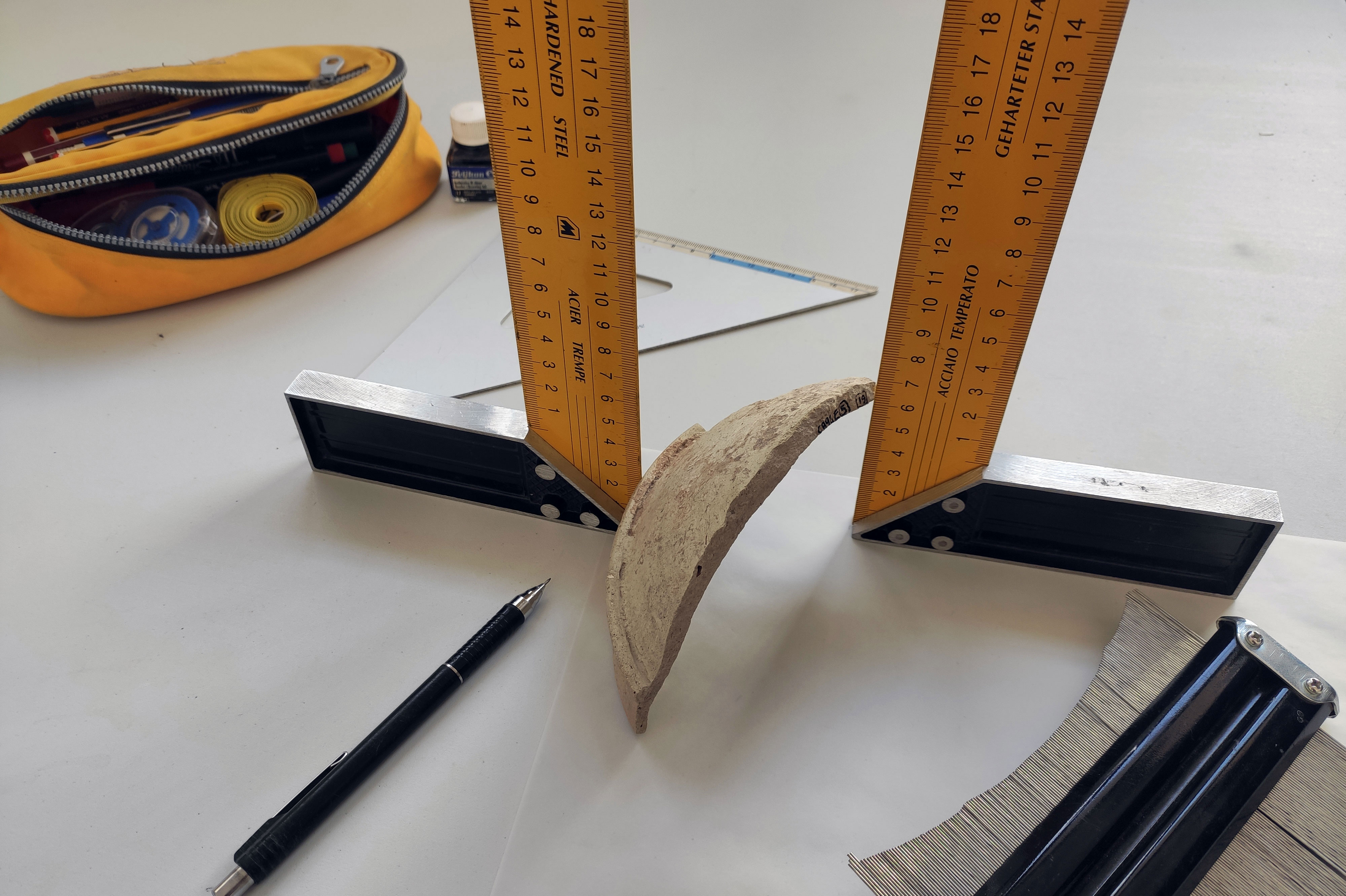
During fieldwork, we collected a large amount of new data, including high-resolution photographs and drawings. We used a Nikon D3500 camera with an AF-S NIKKOR 18–140 mm lens, together with a lightbox, to ensure consistent lighting conditions. The images were saved in JPEG and RAW formats to facilitate post-production in Photoshop or GIMP. The drawings follow the standards of the Montpellier Round Table. Original drawings were scanned in greyscale at 300 ppi and vectorised using Illustrator or Inkscape.
This high level of documentation will enable the extraction of additional information, such as vessel capacities, and will support innovative approaches including 3D modelling and photogrammetry. Sampling also forms an integral part of Step 1: it will allow us to carry out pilot microanalyses of ceramic fabrics and to select significant samples for more advanced investigations. Step 1 is essential for completing RO1 and moving on to Step 2.
Read more about petrographic and chemical analysis
Semantic Data Modelling and Legacy Data Integration
Step 2 focuses on the development of a modern data model integrating newly generated records with legacy datasets (WP2). These data primarily consist of old excavation reports, plans, sections, and photographs, which are essential for assessing the nature and quality of the information produced in Step 1 and for improving our understanding of archaeological contexts.
Their digitisation will make them reusable and accessible through European cultural heritage infrastructures. Other data are currently stored in obsolete formats and require processing in order to extract relevant information. For this reason, ontology modelling is crucial for completing RO2 and proceeding to Step 3.
Spatial Analysis, GIS and Web Mapping
Step 3 entails the exploration of artefact distribution at small, medium, and large scales using a Geographic Information System (GIS) and web mapping in order to investigate whether observed patterns reflect economic, social, or cultural differences (WP3).
Read more about GIS and web mapping
Environmental Analysis
Environmental analysis is a crucial part of the project. Prof. Wilson identified a substantial assemblage of charred plant remains, including grape seeds, lentils, and two wheat species (Triticum monococcum and Triticum durum), through the sieving and flotation of soils from Campanaio and Castagna.
We plan to conduct more advanced analyses on preserved soil samples, amounting to approximately 30 kg, from the Roman levels. Prof. Amy Bogaard will lead this analysis at the University of Oxford. This information will enrich our knowledge of the environment and local economy, complementing the results of the ongoing study of animal bones.
Palaeoparasitological Analysis
Palaeoparasitological analysis represents another important component of the project. The discovery of chamber pots with preserved lime concretions inside them, approximately 6 mm thick, offers the potential to identify human parasites within this material, similar to the whipworm eggs identified in chamber pots discovered at another Sicilian site, Gerace.
This requires further specialised analysis. Dr Marissa Ledger will conduct palaeoparasitological analyses of the preserved concretions at the Ancient DNA Centre, McMaster University.