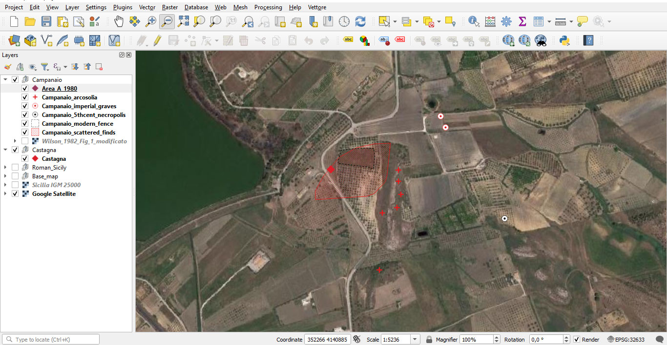
Importing data into the Geographic Information System (GIS) will allow us to explore spatial phenomena at different scales, visualise information through specific queries, and integrate the results into thematic maps. To achieve this goal, we will use the free and open-source software QGIS.
The qgis2web plugin will enable the creation of an interactive web map based on the Leaflet library, which will form the backbone of the project's Digital Atlas.